 |
| Tolharubang |
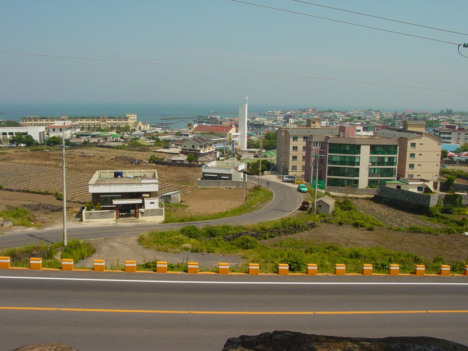 It's often reported that the most highly trafficked plane route in the world is the route from Seoul (#970) to Jeju Island in Korea, although I really couldn't say where I heard it and if that statistic is really up to date. This island, 85km south of the peninsula in the South Sea (East China Sea), is a honeymoon, holiday paradise. It has been compared to Hawaii, the Mediterranean, and Disneyland for valid reasons.
 With a beautiful sub-tropical volcanic landscape, a unique culture that evolved separately from the mainland due to few visitors, and the ocean beyond, it is not surprising that it is the place Koreans tell you to visit. Jeju City is the location of the main airport on the northern coast of the island. Similar to many other Korean cities, it holds the Samseonghyeol Shrine (with harubang) as well as a nice seafront and history museum.
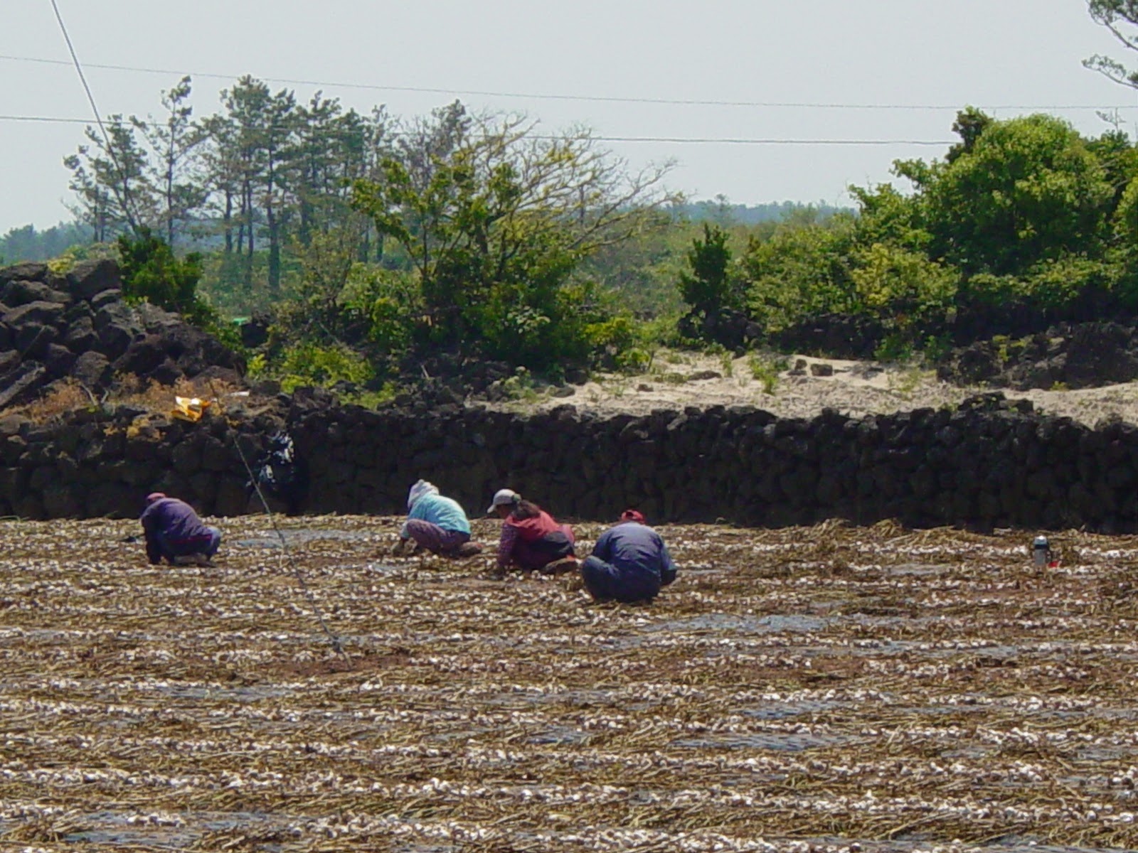
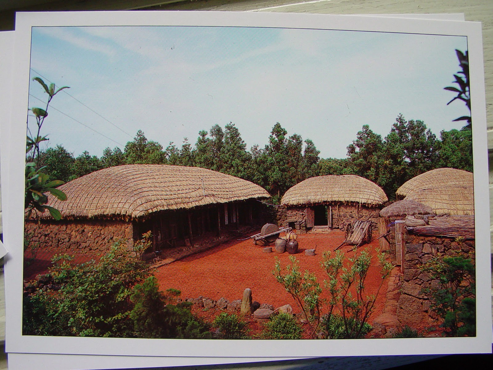
The isolation allowed Jeju to form a unique architectural style: stone houses with thatched roofs tied down in the strong winds. It was for a time during the Joseon dynasty, a haven for exiles: intellectuals, Catholic converts and political undesirables.
Harubang statues (see right) are as connected to Jehu as Easter Island's are to them. Translated as 'grandfather', the first ones was carved in 1750 and left outside fortresses (45 of these still exist). Purpose unknown, they are distinct in their helmet heads, bulgy eyes and noses, and their asymmetrical hands on stomachs.
 |
| Jeju Folk Village |
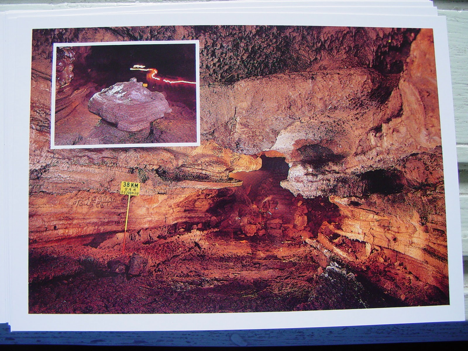 |
| Manjanggul Grotto - the world's longest lava tube |
Site 1: Manjanggul Lava Tube Caves
The world's longest system of lava tube caves is east of Jeju-si: 13.4km long, 2-30m high, 2-23m wide, 10 degrees inside, these huge black tunnels are an impressive view of ancient geological forces.
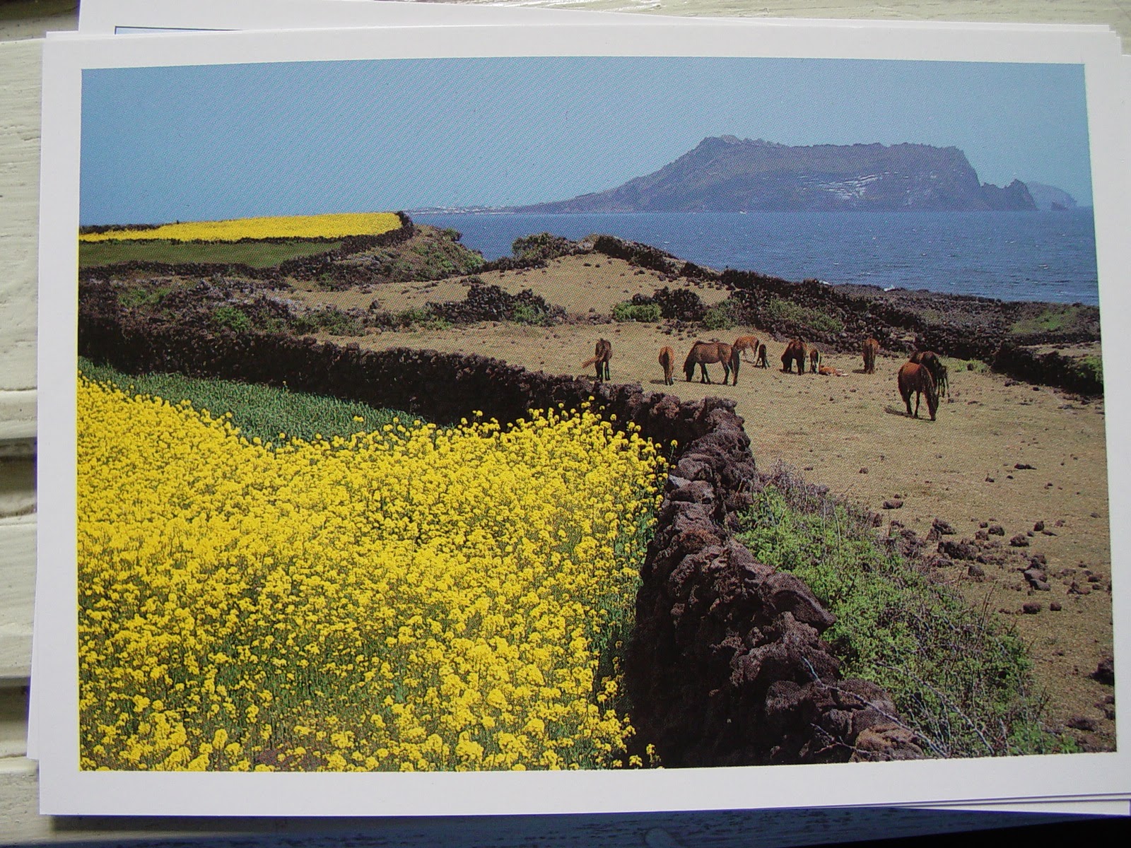 |
| Pony - the special Jeju breed |
 |
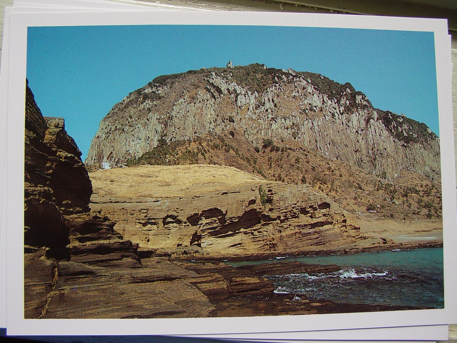
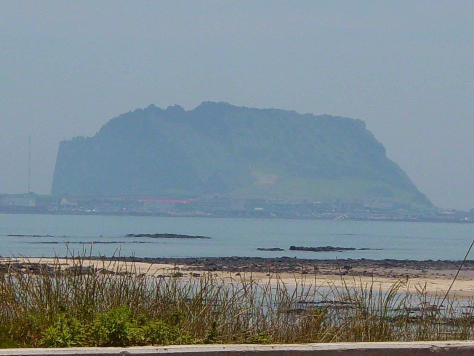
| Sunrise Peak at Songsan |
Site 2: Seongsan Ilchulbong Crater
At the island's eastern point is the extinct volcanic plug, Ilchulbong, with Seongsan-ri Fortress at its base. 182m at the summit, the inside of the crater has been left to wild grass. The ground is so porous that any crater lake has drained away despite its punch-bowl shape. 20 minutes walk to the summit affords spectacular views back towards Jeju-do.
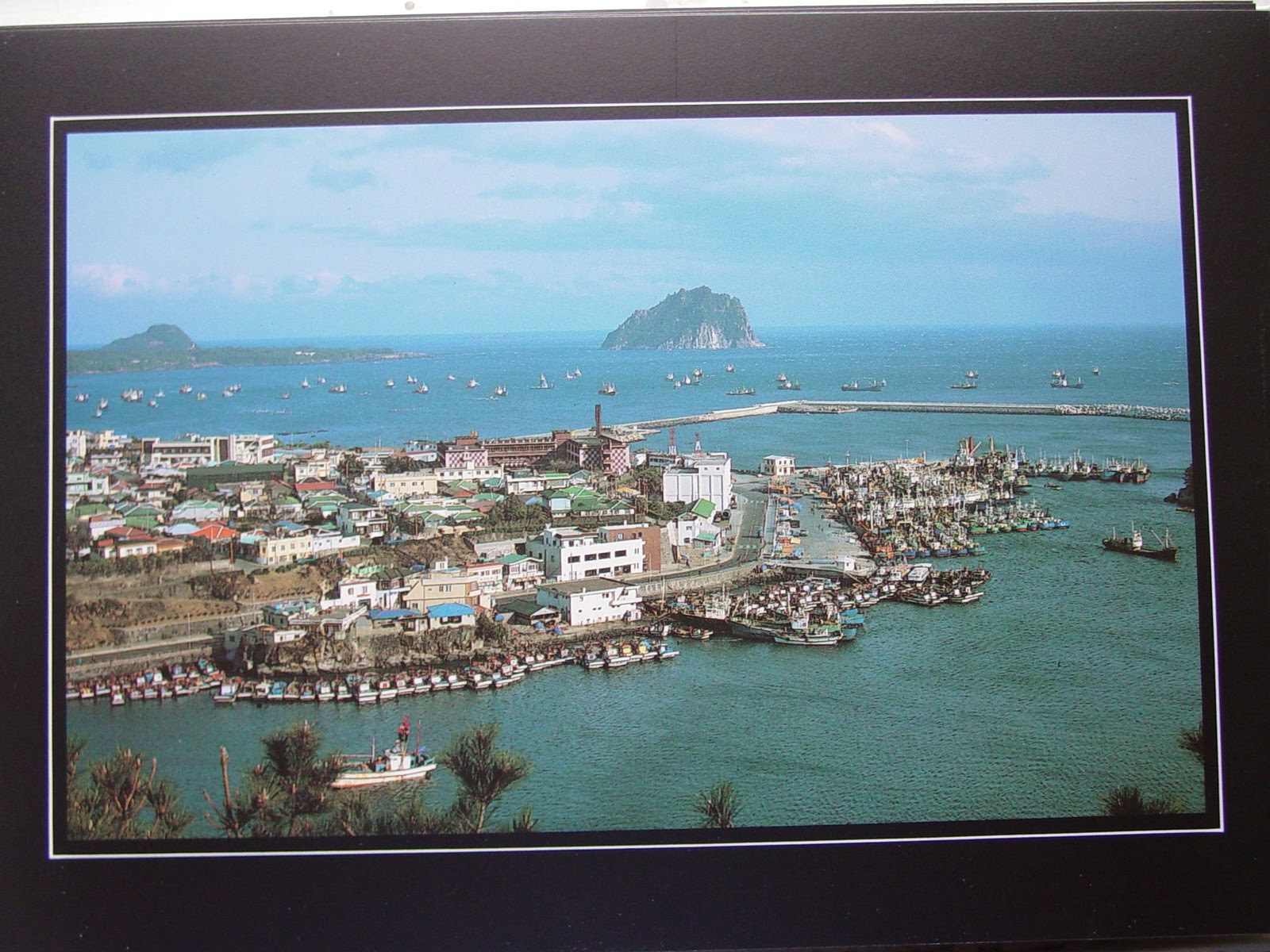 |
Port Seogwiko
|
Site 3: The Southern Coast
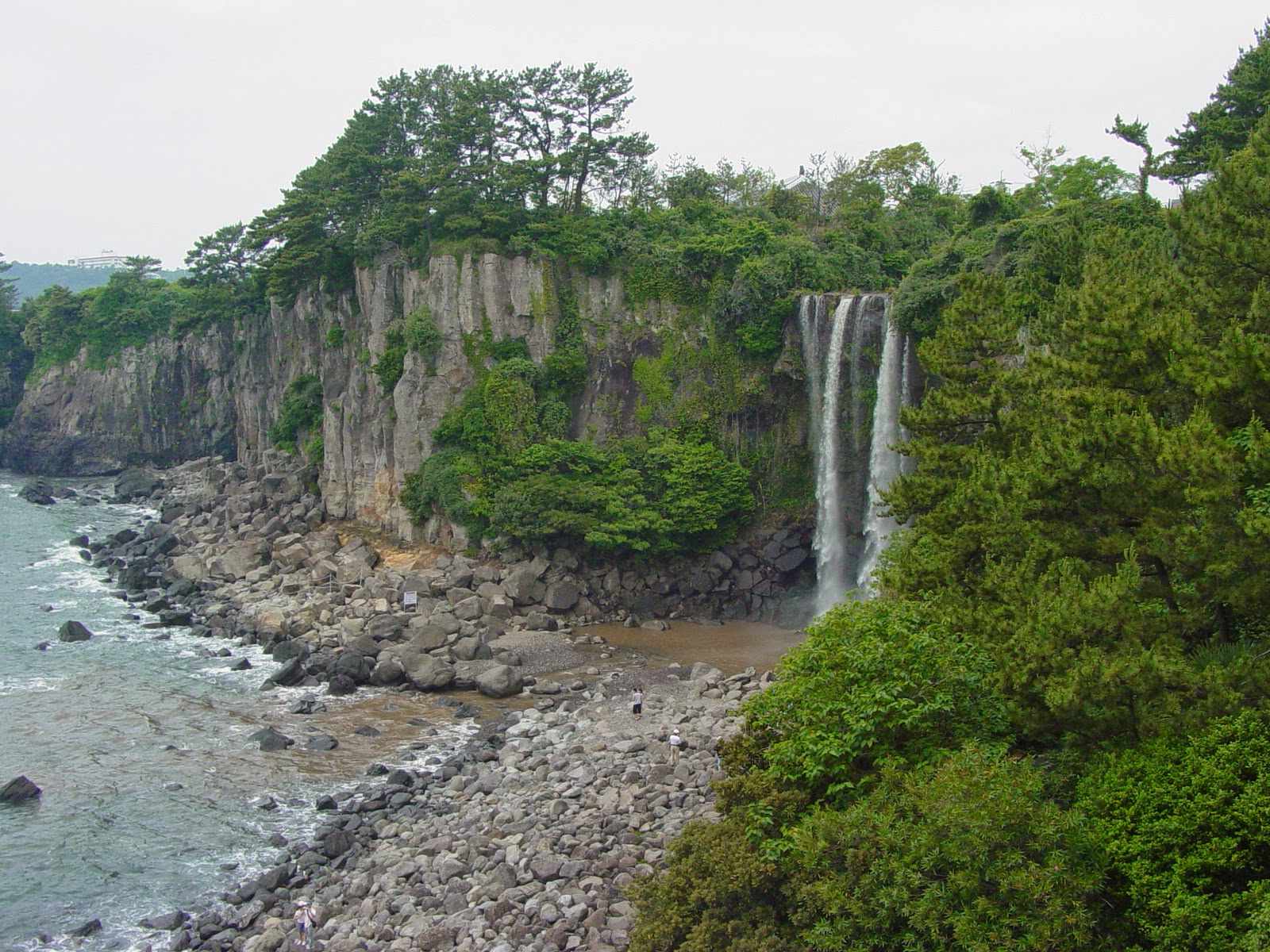
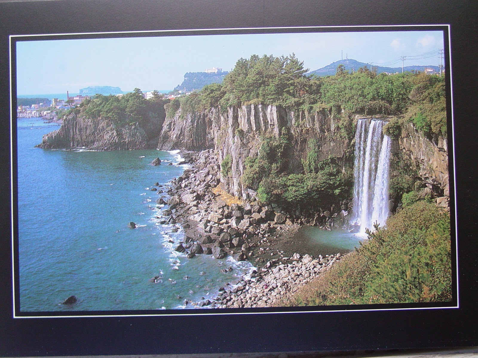
Seogwipo, Jeju's second biggest city, lies on a pretty harbor in the southern coast's subtropical zone of inlets and cliffs. A touristy town with several charming waterfalls nearby, there is good diving off the coast, as well as ballooning and the World Cup Stadium 6km west of town.

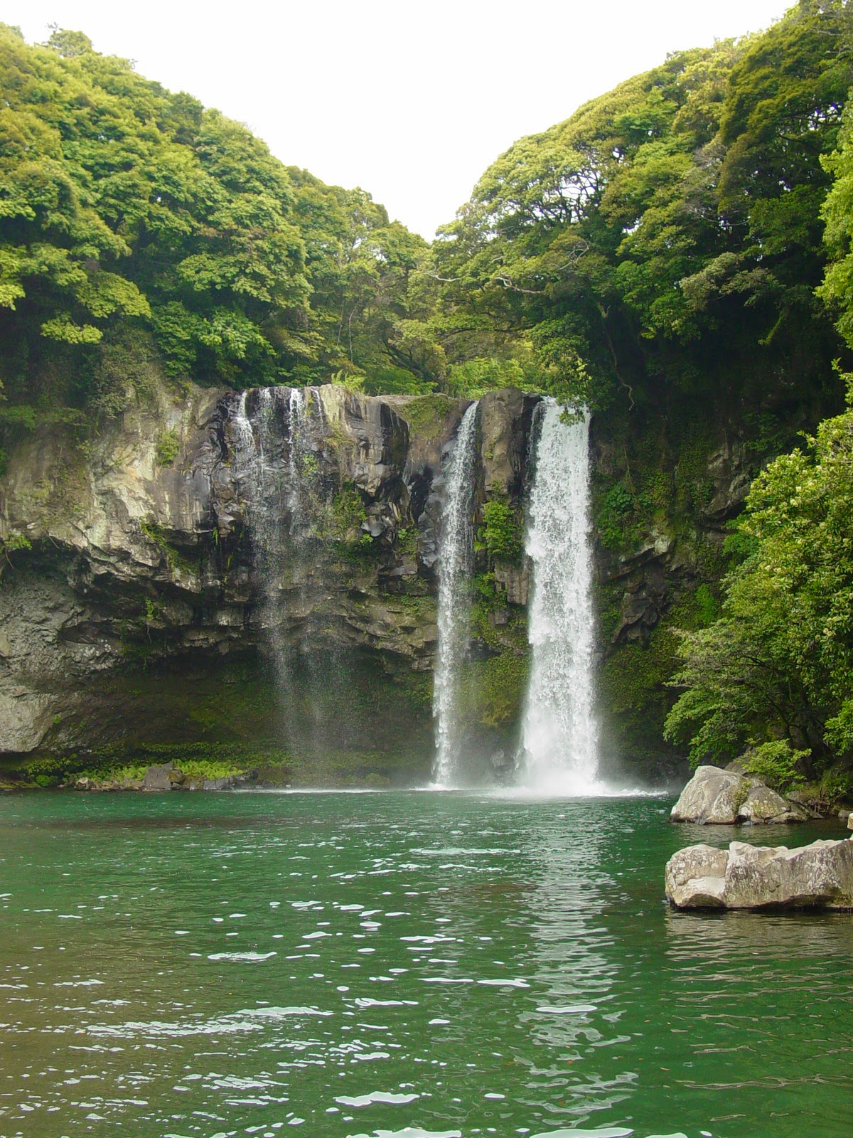
Cheonjeyeon Pokpo is a three-tier waterfall in a pretty gully near Seogwipo. The Seven Nymphs footbridge above, named for the seven carved beauties who served the Emperor of Heaven and supposedly slid down the moonbeams to bathe here every night.
 |
| Seven Nymphs Bridge |
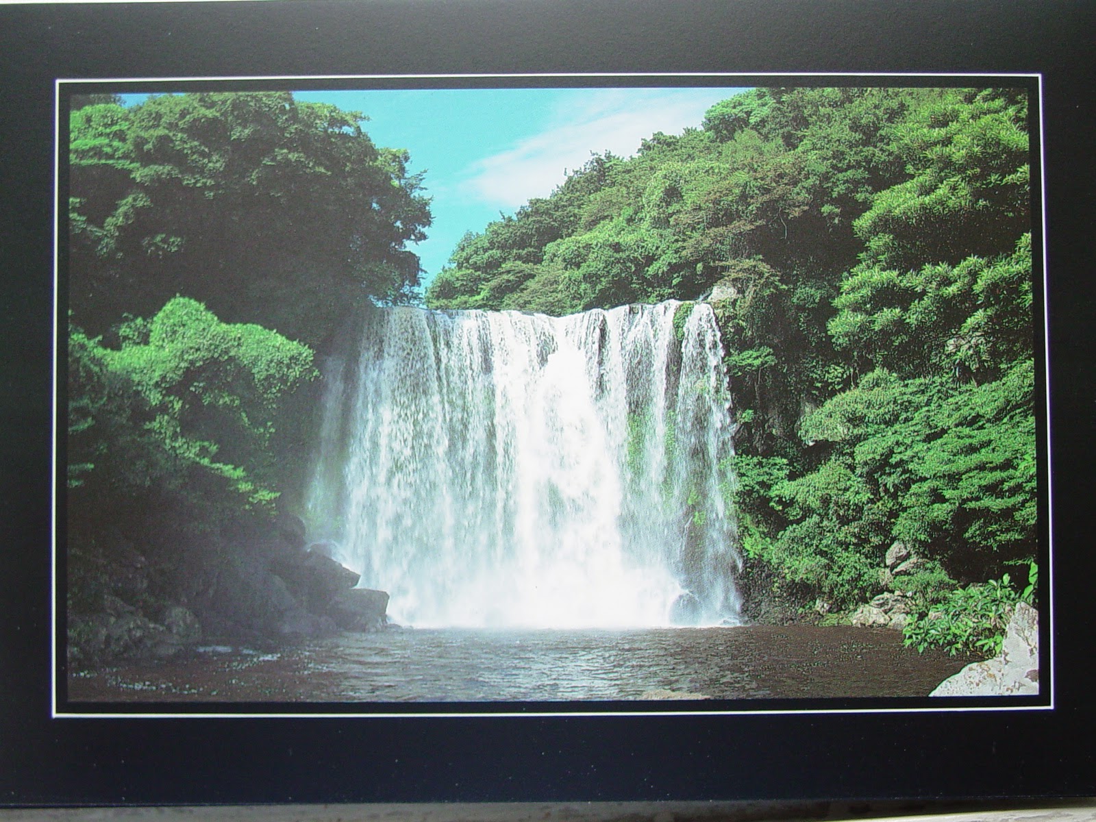 |
| Chonjeyon Waterfall |
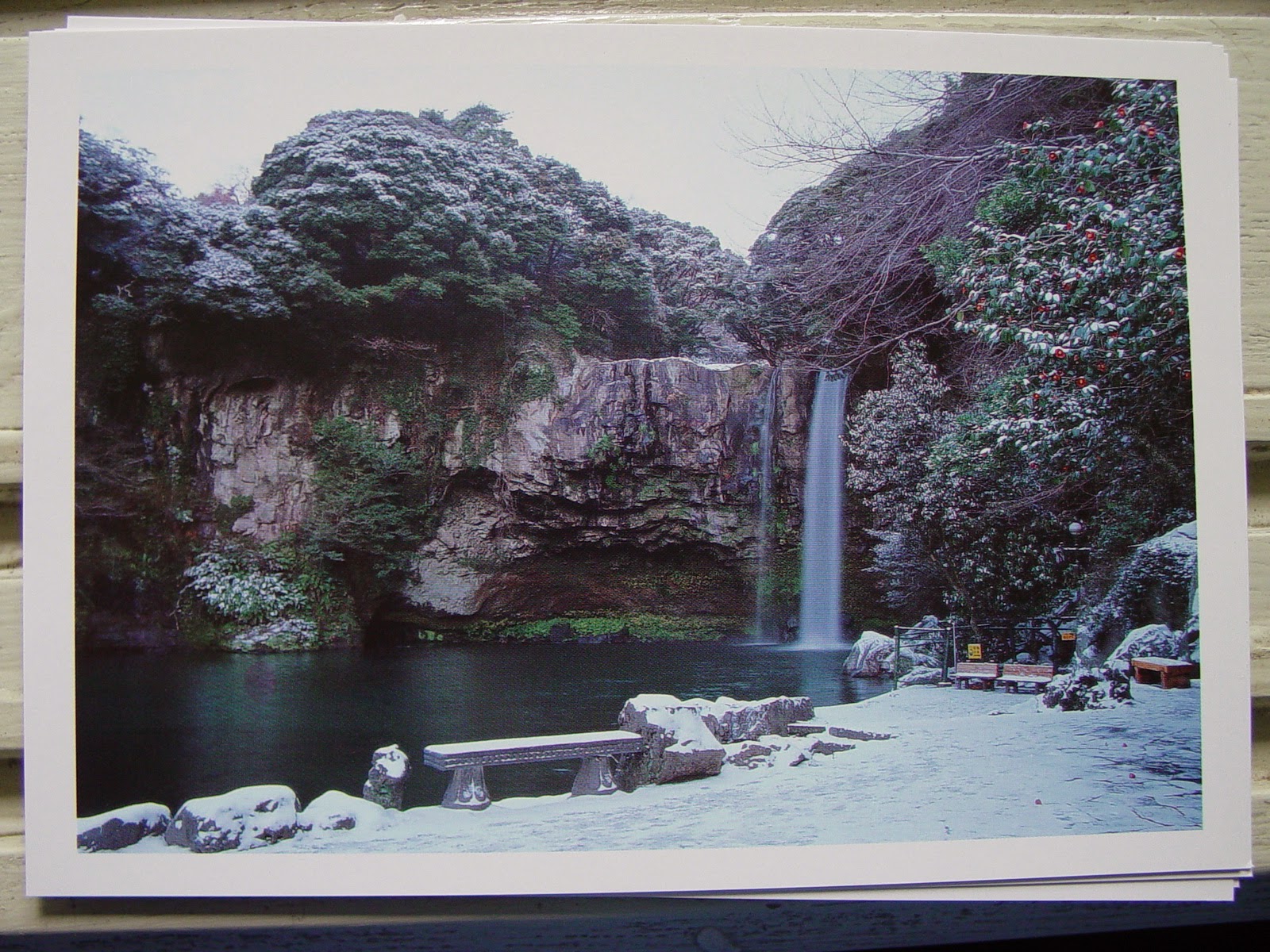 |
| Chonjeyon Waterfall |

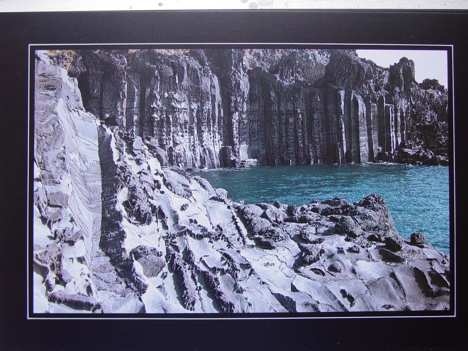
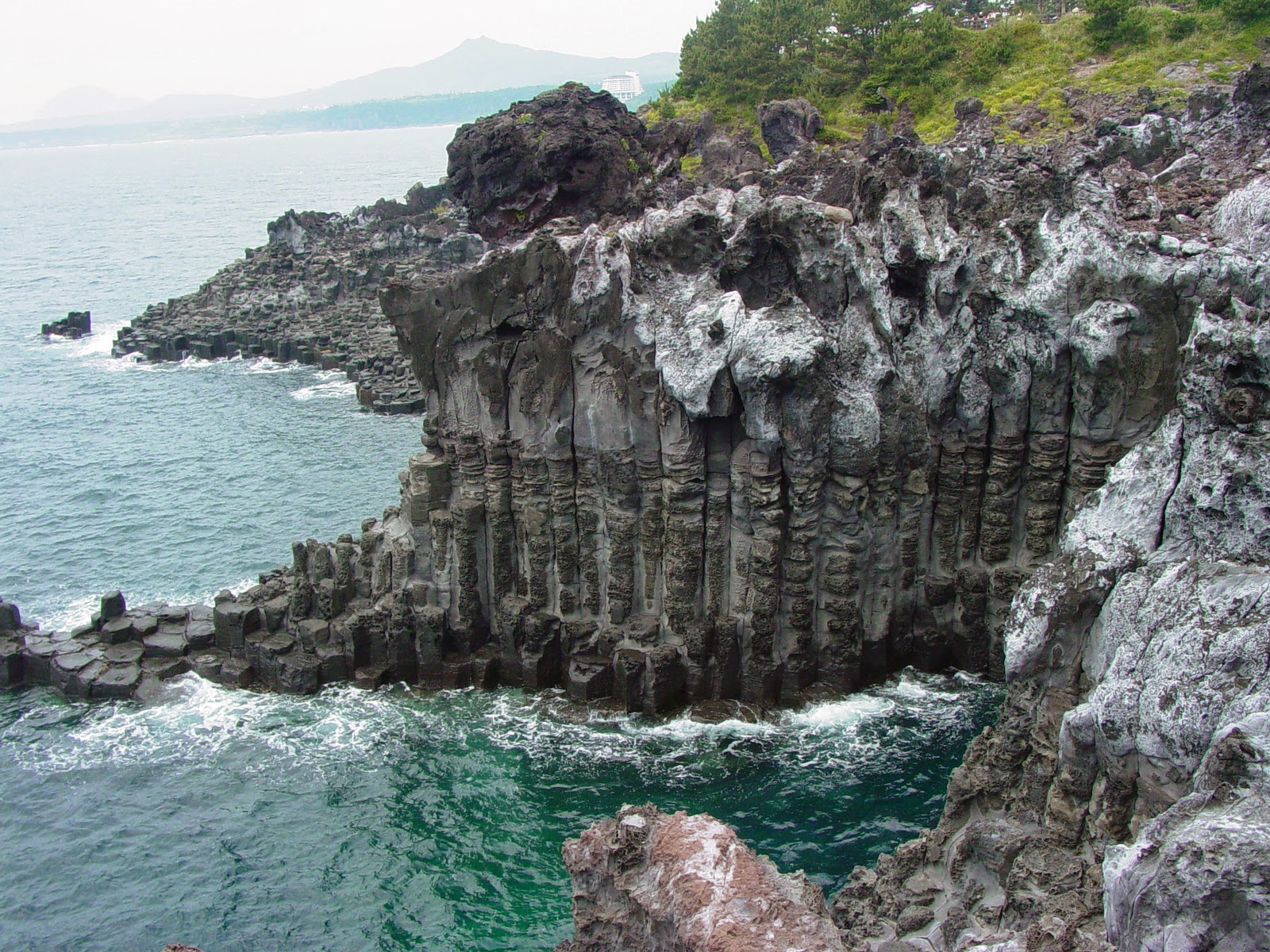
Jusangjeolli Rocks just south of the Convention Centre, are a 2km stretch of spectacular hexagonal-shaped-rock-strewn coastline. Made during the rapid cooling and contraction of lava when it hits the ocean, there are also waterfalls streaming off (such as the Chongbang falls pictured below) to increase its spectacle.
 |
| Chongbang Waterfall |
 |
| Chongbang Waterfall |
 |
| Rugged Rock of Chungmun |
Harubang at the World Cup Stadium
.jpg) |
| Yongduam (Dragon Head Rock) |
 |
| Woidolgoi Rock |
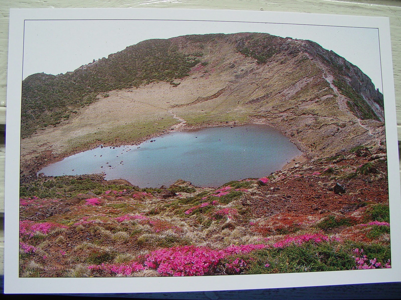 |
| Paengoktam Crater of Hallisan |
Site 4: Hallasan
The central mountain, Hallasan (Mt. Halla) is South Korea's highest, and its national park has a unique range of flora and fauna in its four separate ecological zones that change with the seasons. It tends to collect clouds easily, so I didn't actually see it!
 |
| Paengoktam Crater of Hallisan |
.jpg) |
| Five hundred disciples of Buddha. Yongsill rugged rock. |
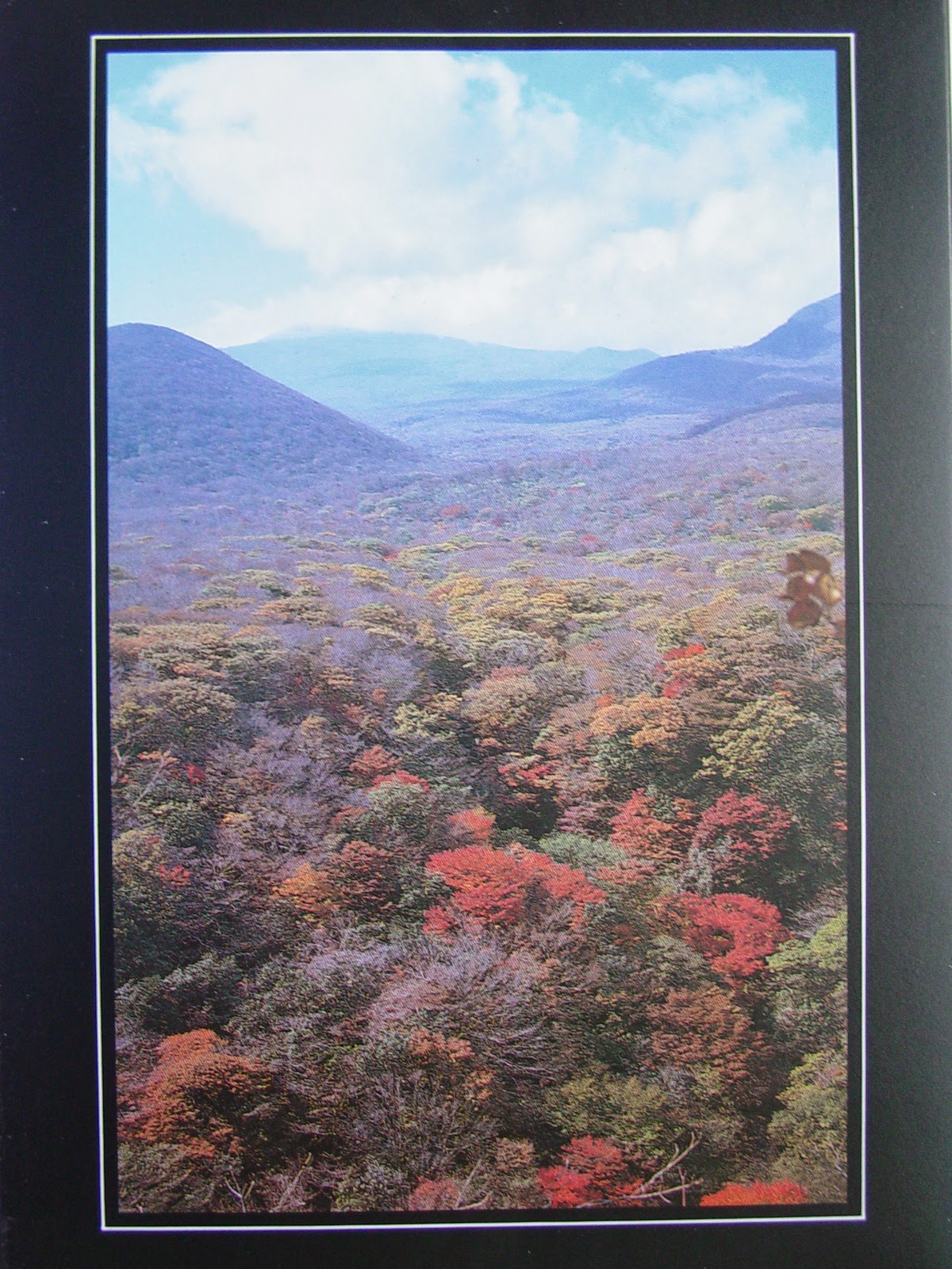 |
| Flora of Mt. Halla seen from Songpanak |
Other places on Jeju-do that I didn't make it to:
 |
| Moksogwan - just south of Jeju City, it has wood and stone installations |
 |
| Fortress site of Nammun Gate in Songup Folk Village |
 |
| Song-up Folk Village |
 |
| Hallim Park entrance to Hyopchaegul Cave |
 |
| Underground Pillar in Hallim Parrk |
 |
Spiritual Sanbangsan
- a sheer-sided rock on the southern coast
with a grotto temple and healing water |
Source: Please note that the photos with the borders are taken from postcards.
Lonely Planet Korea 7th Edition 2007


No comments:
Post a Comment